
 Image 1 of 1
-
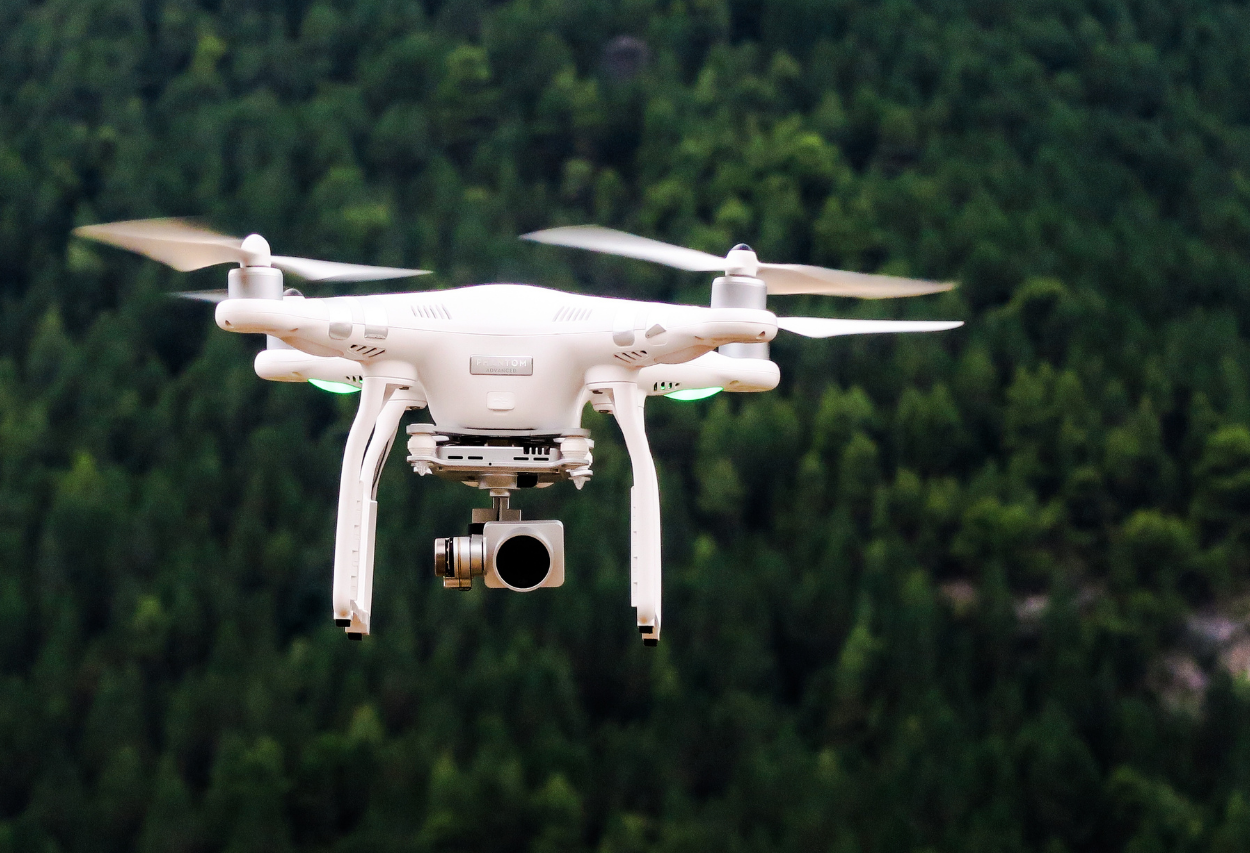
This course provides an introduction to drone applications as they pertain to ecological and natural resources sciences and management disciplines, including wildlife management, agriculture, and other land management sciences. Emphasis will be on small, unmanned aircraft systems and a broad range of topics will be covered, including a brief history of unmanned aircraft systems (UAS), aircraft and payload applications, mapping techniques, and remote sensing fundamentals. The dynamics of emerging UAS technologies will be addressed and hands-on exercises will introduce techniques using sample software applications.
Contact us about group rates and private training options
-
Summer: Jun 1 – Sept 6, 2026
Fall: Sept 8 – Dec 20, 2026 (Early bird ends August 9)
*Early bird saves $75
-
Access to Adobe PhotoShop or any equivalent photo editing software.
Drone Pilot Preparation (FAA Part 107 certificate and simulator training) is recommended.
FAA TRUST certificate is required before performing sUAS flights in the United States.
-
Module 1: Aircraft Types
Learning Objective: This unit provides an overview of the various UAS aircraft available.
Learning Outcomes:
Demonstrate understanding of the history of sUAS
Interpret how different types of drones can be used for specific purposes
Identify components of a UAS
Apply relationships between pilot and specific aircraft applications
Module 2: Payloads
Learning Objective: Identify payload applications associated with sUAS
Learning Outcomes:
Explore various data capture payload sensors including:
· Photographic cameras
· LiDAR
· Remote Sensing
· Infrared/Thermal
· Passive and Active Sensors
· Emerging sensor technologies
Understand principles of Remote Sensing
Demonstrate an understanding of mechanical payloads including transport/delivery
Module 3: Drones and Terrestrial Ecology
Learning Objective: Become familiar with sampling plant communities with drones.
Learning Outcomes:
Demonstrate how to program a flight to capture landforms imagery
Demonstrate how to produce an orthomosaic map
Recognize capabilities and limitations of existing sensing technologies
Module 4: Sampling Fauna with drones
Learning Objective: Become familiar with sampling animal populations with drones
Learning Outcomes:
Demonstrate the ethical use of UAS to obtain data.
Review and summarize literature pertaining to tracking animals
Discuss risks and opportunities associated with sampling animal populations
COURSE OPTIONS & INFORMATION
FORMAT:
3 months of access to course materials as you work at your own pace
Get instructor support for the 3-month term via email, discussion threads, and one-on-one appointments
After working through the course materials, set up an optional meeting with the instructor to discuss your own personal project from work or school
CONTINUING EDUCATION:
16 CEUs with The Wildlife Society
4 CEUs in Category I(a): Scientific Education and Training with the Ecological Society of America
See our Continuing Education Page for more details

INSTRUCTOR
SCHOLARSHIPS
Full scholarships are available to participants from countries designated as “lower income” and “lower middle income” in the World Bank List of Economies. Please see our CWS World Scholars Program page for details.